23. Mai / Maps
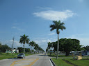
vorbei an Sarasota
more pictures >>>
Ulla und Gino on american dreamroads >>>
Sarasota ist eine Stadt und der County Seat des Sarasota Countys im US-Bundesstaat Florida.
Das Ringling Museum of Art ist vermutlich die größte Attraktion in Sarasota und repräsentiert das Staatsmuseum für Kunst von Florida. Daneben gehört das Mote Marine, ein Aquarium mit angeschlossener Forschungsinstitution, zu den bedeutendsten Attraktionen in Sarasota. Der internationale Flughafen Sarasota-Bradenton bedient auch die 30 Kilometer nördlich liegende Nachbarstadt Bradenton.
Weltweite Aufmerksamkeit erhielt der Ort am 11. September 2001, da sich zum Zeitpunkt der Terroranschläge auf das New Yorker World Trade Center der amerikanische Präsident George W. Bush in der Emma-E.-Booker-Grundschule für einen Pressetermin aufhielt.Quelle Wikipedia
About Sarasota
In the Sarasota area, you can enjoy the breathtaking sunsets, educational museums, operas, ballets, plays, golf tournaments, and boat races. You can join in tennis, lawn bowling, water skiing, shell collecting, bird watching, growing exotic tropical plants, university classes, golf, or boating.
Quality service is available from knowledgeable physicians, bankers, lawyers, investment brokers, lenders and insurance agents, who can help answer your questions about living and conducting business in Florida.
Sarasota, together with its neighbors to the north and south, Manatee County and Charlotte County, form the 7th-largest market in Florida. It is also Florida's third-fastest growing major market. With over 600,000 people, the Sarasota/Manatee/Charlotte area is one of the largest, most affluent markets in Florida. In the last 5 years, it has grown 4 times faster than the national average. The per capita retail sales are almost 20% above the national average. It has a strong base of retirement age people, about a third of the population, but the fastest-growing segment of the market is middle-aged adults and their children. It has approximately 1/4 the population of the Tampa/St. Petersburg area.
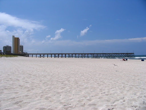
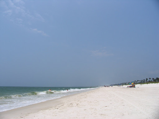
The beauty of Sarasota will get your attention on your first visit. If you see Sarasota first from the window of an airplane, the colors of the Gulf of Mexico and Sarasota Bay, contrasting with the brilliant white sand of Longboat, Lido, and Siesta beaches, will make you anxious to see more. A rainbow of colors comes from the tall condominiums shining in the sun, the warm tile on the roof and patio of the mansion built by circus magnate John Ringling, the various green hues from the lush jungle-like vegetation, the flowers that are blooming any month of the year, and the lavender seashell-design Van Wezel Performing Arts Hall.
Sarasota boasts some of the oldest and newest homes in the area. Some homes were built over 50 years ago as winter vacation cottages. Others are new gated bayfront estates with manicured grounds, marble foyers, soaring ceilings, the newest fixtures and technological advances, and spectacular views.
Residents from any neighborhood can enjoy the wide range of activities available throughout Sarasota. Whether your taste in art leans more toward circus posters, Rubens and Poussin, seashell creations, sand sculptures, or the new art of the Ringling School of Art students, it's here. Your hunger for theatre can be filled by the Foreign Film Festival, the Asolo Theatre Company, Florida Studio Theatre, Island Players, Lemon Bay Playhouse, or Theatre Works, for a start.
If you want to add music to your diet, you could begin with the Florida West Coast Symphony, Key Chorale, Gloria Musicae, the Jazz Club of Sarasota, Sarasota Ballet of Florida, Sarasota Blues Society, Sarasota Opera Association, or the Sarasota Concert Band.
You also have a large number of choices when you look for educational opportunities, spectator or participant sports, boating and other water activities, restaurant styles, museums, state parks, or fresh citrus. Traveling to areas around Sarasota is easy, with quick access to Interstate-75. Tampa and the Tampa Bay Buccaneers, Florida Aquarium, Dali Museum and other attractions, is only an hour north of Sarasota. Disney World's many attractions, near Orlando, are only 125 miles away, about a 2.5 hour drive.

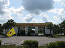
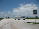
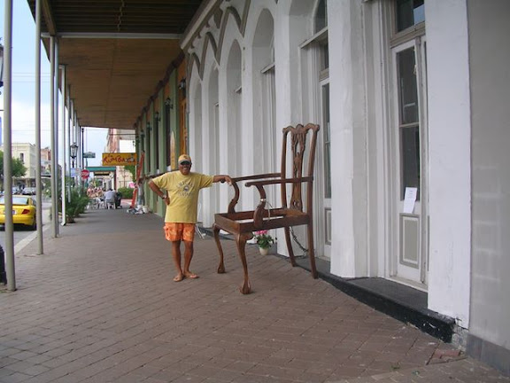
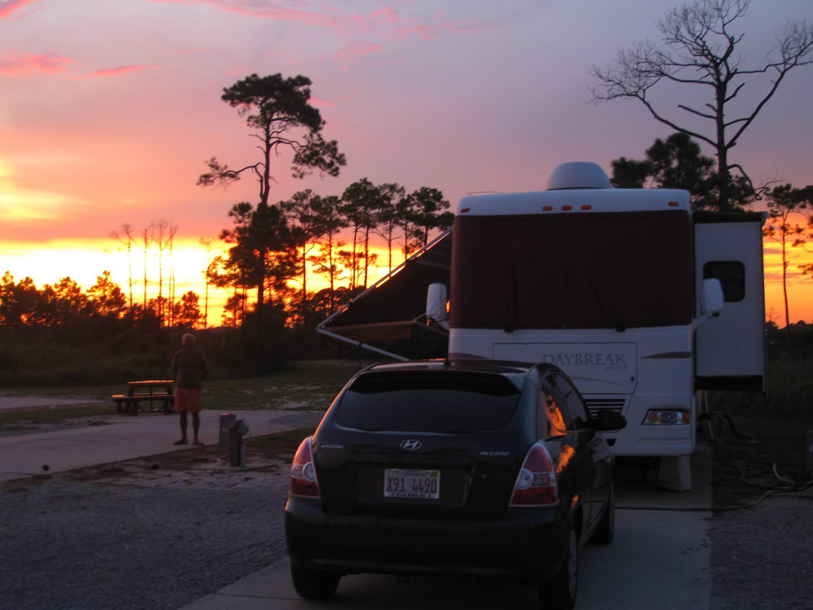 es ist der laengste Abschnitt den wir an einem Stueck zuruecklegen, ueber 450 Meilen und es regnet fast die ganze Zeit, die letzten 20 Meilen bessert sich das Wetter zwar und die Sonne kommt heraus doch jetzt stecken wir in einem Stau, sodass wir fast 2Stunden dafuer benoetigen.


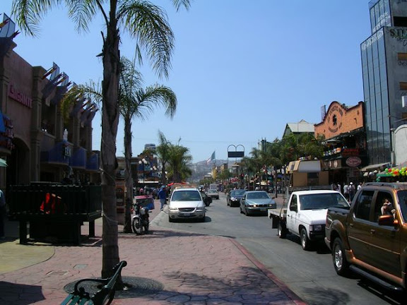


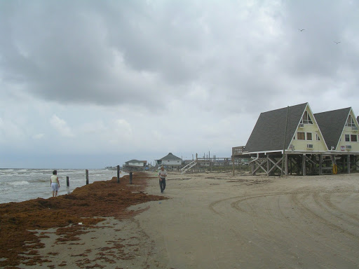
 .. vor genau 15 Monaten waren wir hier in Galveston auf unserer Reise 180 Tage durch Nordamerika